Posts

Showing posts from December, 2012

Hardesty Trailhead to Ash Swale Shelter

Image
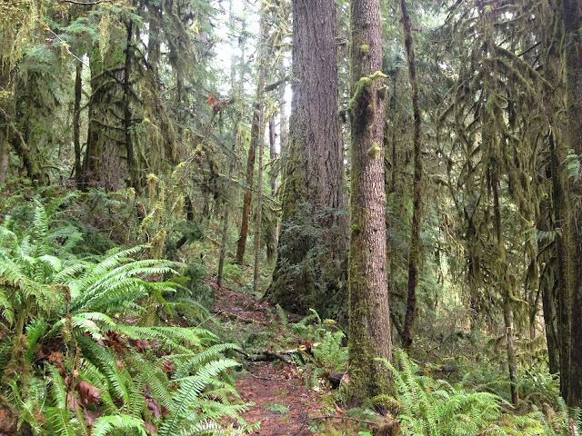
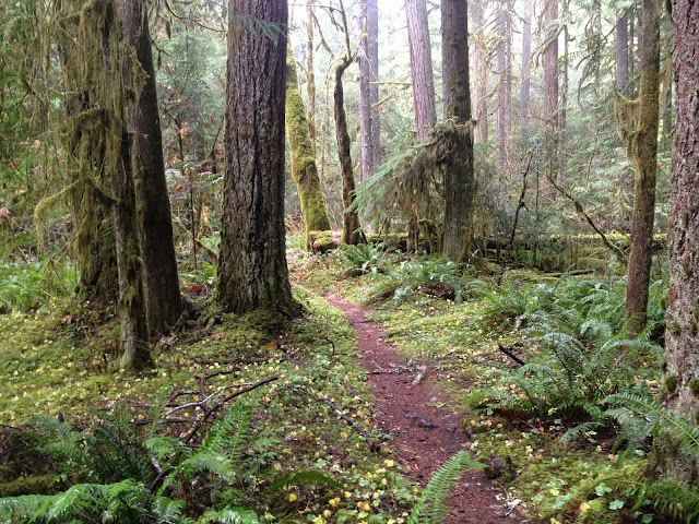
Old-growth Douglas-fir along the Goodman Creek Trail The area around Hardesty Mountain is home to quite a few miles of multi-use trails. It's close proximity to Eugene makes the area trails popular to both mountain bikers and hikers. But like most other trails in western Oregon during fall and winter you likely won't see many people, if any. I got to the trailhead fairly late, around 10 am and there was one other guy there who was riding his bike. The route that I wanted to take was from Hardesty Mountain to the Ash Swale Shelter. This route uses the Hardesty Trail (3469), Goodman Creek Trail (3461.1) and the Eagles Rest Trail (3461). Hardesty Trailhead from the parking lot Beginning of the Hardesty Trail If you plan on spending a few days in this area backpacking I would suggest being dropped off. Leaving a vehicle at this trailhead that also functions as a rest stop along Highway 58 would probably lead to your car being broken in to. That being said if you'

Multi-Use Gem: Larison Creek Trail

Image
Native forest along Larison Creek Recently I've had the craving to hike around Oakridge, I'm not sure if it's the incredible forest, or the food and beer at Brewers Union Local 180 after the hike. But I've been twice in a week. The first hike was a lower portion of the Middle Fork Willamette Trail and the second was Larison Creek. For those who don't know Oakridge is a mecca for both hiking and mountain bike riding. I like to do both, but prefer hiking. This time of the year you will likely find yourself alone on the trail, whatever your mode of transportation. The Larison Creek Trail starts off where Larison Creek is part of Hills Creek Reservoir, though this changes quickly to a more native setting. Larison Cove Bridge over a small stream near campsites along Larison Creek This December has been great for checking out all different forms of Fungi. Normally the larger parts of the forest capture my attention first, but some of the large or l

Middle Fork Willamette Trail: Sand Prairie to Pine Creek

Image
One of the many small stream crossing along the lower Middle Fork Willamette Trail  Most Oregonians are at least somewhat familiar with the Willamette River. It runs through the largest cities in the state and was once a major thoroughfare for goods. If you live downriver from Eugene the river you know is probably fairly wide and nasty looking. This isn't the case at all with the Middle Fork Willamette River. The Middle Fork Willamette trail  meanders for nearly 35 miles from Timpanogas Lake to Sand Prairie Campground. Often forgotten by hikers, bikers and equestrians it offers solitude without being far from Oakridge. Middle Fork Willamette Trailhead just downriver from Sand Prairie Campground My friend and I had planned on starting our hike at the northern terminus of the trail at Sand Prairie Campground, but it was sadly gated off and we didn't want to block the gate and possibly get a ticket. Knowing that there were many access points we continued south along FR