 |
| Morning Sun On Dillon Lake |
After my day hike on the
Rebel Rock Loop, I wanted to return to the Western Three Sisters Wilderness, this time for at least one night. While looking at my map of the McKenzie Ranger District I came across Dillon Lake, I'm not sure why but it captured my attention. At that point all of my energy was focused on the best route to Dillon Lake from the Pat Saddle Trailhead.
Noticing that Forest Road ( FR) 1993 was the only one to the Pat Saddle Trailhead, I gave the
McKenzie Bridge Ranger Station a call. The guy on the phone said that the only way in was from the Cougar Reservoir side and that it was probably still blocked by snow. Slightly disappointed, but not ready to give up my girlfriend and I set out to see if it was still blocked.
 |
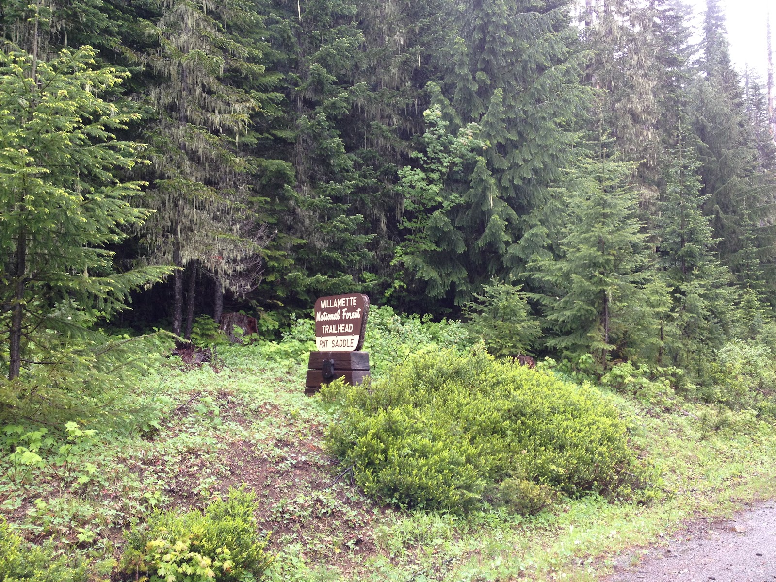
| Trailhead along FR 1993 |
While the rest of the country has been blazing hot we had been getting some fairly heavy rain and cool temperatures. As we pulled into the parking lot there was a cool breeze and steady rain. Leaving behind the warm truck we took some pictures and hit the trail.
 |
| Shortly after the trailhead you enter Three Sisters Wilderness |
Our hike started out on the Ollalie Trail, which was relatively well maintained and had only a few down trees that required climbing over or under.
 |
| The sun trying to break through |
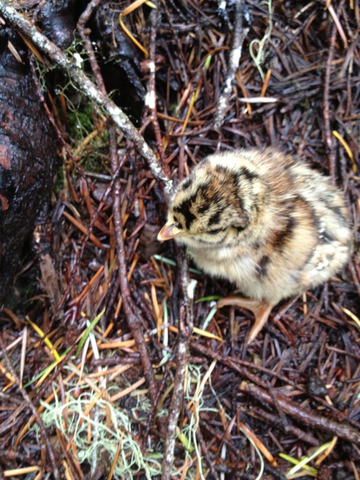
Not long after we started walking we came across a large Grouse in the middle of the trail, after making jokes about dinner, she flew up and we noticed there were about five chicks sitting in the trail. Feeling somewhat bad about making jokes about eating her, we moved carefully around the chicks trying not to disturb them too much.
 |
| Grouse chick |
I was slightly disturbed by the completely lack of snow, knowing that if the snow was gone that the mosquitoes couldn't be too far behind. Having prepared for crossing snow patches I left the bug juice at home. It was a bad decision for me and a terrible one for my girlfriend.
 |
| One of the few snow patches left |
After searching extensively for information about the second trail (3530) and coming up empty, I figured that it would likely be overgrown or hard to follow. It was somewhat overgrown by Huckleberry bushes, which would have been amazing had it been September. They did a fine job of keeping my shorts wet most of the day.
 |
| An area map |
There were many small stream crossings and standing water along trail 3530, and once the sun started to come out the hordes of mosquitoes rapidly descended upon us. Quickly we were wishing for the rain to return and thankfully it did. As you follow trail 3530 head towards park lake at all junctions until a well signed 4 way junction. You will then head north on the Water Holes Trail ( 3538).
 |
| One of the many stream crossings |
 |
| Portion of the Water Holes Trail |
As we headed toward Dillon Lake on the Water Holes Trail my girlfriend asked me if the trail followed the creek or if the creek followed the trail. . . Not sure of answer but not wanting to lose the trail we splashed through the icy cold water. Though it didn't look like many humans had been on this trail the Elk had been doing a great job making the path visible.
 |
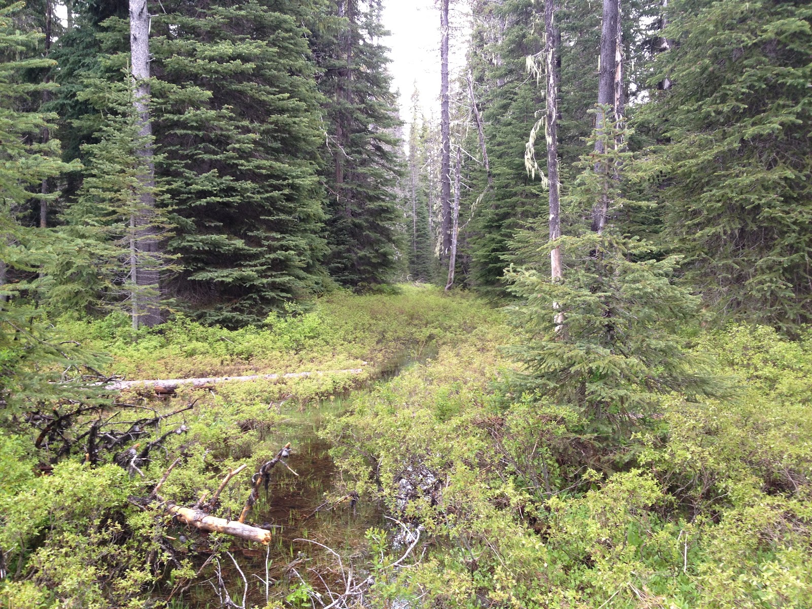
| The Water Holes Trail nearly disappears in a meadow |
Some skill is needed to follow the Water Holes Trail, I always try to spot cut logs and follow the trail directly through, not around streams or standing water. Sometimes it's not the easiest thing, but I rarely completely lose a trail. Definitely figure out what works for you and always have a map/compass and or a GPS.
 |
| Wildflowers along The Water Holes trail |
Nearly on cue as we hit Dillon Lake the rain stopped and the sun started to peak out of the clouds. After walking part way around the lake we decided that camping on a flat spot near the outlet was the best option. Still fairly wet from the Huckleberry bushes fire was as major priority. Having just got my BioLite Campstove, I decided to start a fire in it first and then transfer it to some tender on the ground. Check out my review of the
BioLite Campstove.
 |
| Drying our favorite hiking 'shoes' |
 |
| The BioLite in action |
Knowing that it's going to be dry after raining all day is always an awesome feeling. Waking up to the sunrise over the towering trees that ring Dillon Lake was incredible. Walking through a native forest as the sun causes the moisture from previous days rain to fall is one of my favorite things in the world.
 |
| The view from camp |
Sadly 'real life' got in the way and we could only stay one night. We returned the way we came, though if you wanted to shuttle a car you could finish at the Horse Creek Trailhead.
Directions from Blue River: Follow Highway 126 east 4 miles. Turn right on Forest Road 19 (Aufderheide Forest Drive). Turn left across dam. Follow FR 1993 for 14 miles, Pat Saddle trailhead is on the right.
Hike Distance: 10.1 miles one way
Hike Type: Out and Back
Elevation Gain/ Loss: Appox. 1000 Feet
Highest Point: 5000 Feet Near Olallie Mountain cut off
Usage: Light, didn't see anyone
Difficulty: 3 out of 5, because of potential route finding issues on trail 3538
Hike Time: 5 hours one way


Comments
Post a Comment