One Year Later: Mount Thielsen
 |
| Mount Thielsen from the Pacific Crest Trail 2011 |


There are a few different routes one can take to summit Mount Thielsen, but the normal day hiking route begins at a large parking lot trailhead along Highway 138. There is a 5 dollar day use fee, permits are sold at the trailhead.
 |
| Entering Mount Thielsen Wilderness |
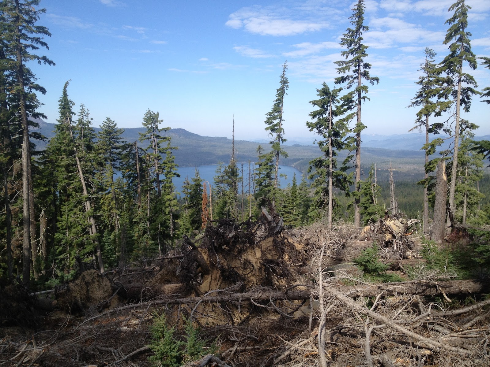 |
| Diamond Lake from the Mount Thielsen trail |
The first four miles of this trail are well maintained and a steady but easy climb, you traverse through a few different kinds of forest. It's always awesome to me to see which trees dominate the landscape as you climb in elevation. As you reach the Pacific Crest Trail you will notice a trail that heads straight towards Mount Thielsen, this is the trail you want. We made the mistake of taking a trail that went slightly south away from the ledge, it was very loose scree which isn't easy to walk on with boots let along FiveFingers. Progress was slow and breaks were frequent both because it was strenuous, and also to take in the increasingly beautiful vista back towards Mount Bailey and Diamond Lake.
 |
| Mount Bailey and Diamond Lake from the Mount Thielsen trail |
 |
| Smokey view north near the summit of Mount Thielsen |
As you scramble up the various trails do your best to stay as close to the ledge or to the left as you go up. The rock there is harder and slightly better to walk up. There is even a small campsite for one person overlooking the west side of Mount Thielsen.


 |
| Campsite of last resort |
 |
| The view back down the scramble |
As you near the summit the rocks become large and it's much easier to move across than the scree you were on before. There is a small flat below a Pine just before the 80 foot near climb to the top. I hadn't decided if I was going to climb this last part because danger involved, but once I was below it, it didn't look all that bad.


After signing the trail log and soaking up the glorious views all around I slowly made my way down the near vertical rocks. Besides the massive drop below it wasn't bad at all coming down. Progress down the scree slopes was relatively slow, because of having our FiveFingers filled with rocks, it happened so quickly it almost wasn't worth dumping them.

Overall this is a great hike it will get your heart pumping and provide you with some incredible views. After getting off the scree we finished the last 4 miles within an hour, not sure if it was the easy trail or knowing we would soon be at 10 Barrel in Bend, but we flew off the mountain. Even if you don't want to climb the last 80 feet this is definitely a great hike and worthy of the drive here from anywhere.
Hike Distance: 10 miles
Fees: 5 dollars or a Northwest Forest Pass

Directions from Bend: Follow Highway 97 for 74.5 miles, turn right onto Highway 138 follow for 20 miles. The trailhead will be on your right, it's well signed.
Hike Distance: 10 miles
Hike Type: Out and Back
Elevation Gain: Approximately 3,700 feet
Highest Point: 9,182
Usage: Light
Difficulty: Overall 5 out of 5. First 4 miles is a 2 out of 5
Fees: 5 dollars or a Northwest Forest Pass


Comments
Post a Comment