Willamette National Forest: Crescent Mountain Trail
 |
| Campsite on the summit of Crescent Mountain |
Crescent Mountain comes in at 5,750 feet making it one of the highest peaks in the Old Cascades. Long worn down by the ravages of time these peaks are half the elevation of the newer Cascades. An area that is often overlooked by hikers and backpackers is the Old Cascades trail network. The Crescent Mountain trial is an awesome day hike and could be used as the southern leg of a multi-day backpacking trip.
 |
| Southern trailhead |

While crossing Maude Creek keep your eyes open for Huckleberries, I found a few early season ones. As you climb you pass into a much more impressive mature forest, with some fairly large trees.
 |
| Huckleberries |
 | |||

After about 3 miles you will walk into a beautiful meadow which will give you the first epic views of the hike. If you hike here in June or July the wildflowers would be impressive, probably not quite like Iron Mountain, but still awesome.

 |
| The Sisters from Crescent Mountain trail |
Just before the summit and the steepest part of the trail you will reenter a dark Fir forest, keep right at the trail junction to reach the summit. If you're planning on a longer hike after you summit Crescent Mountain the other trail will be the one you take.

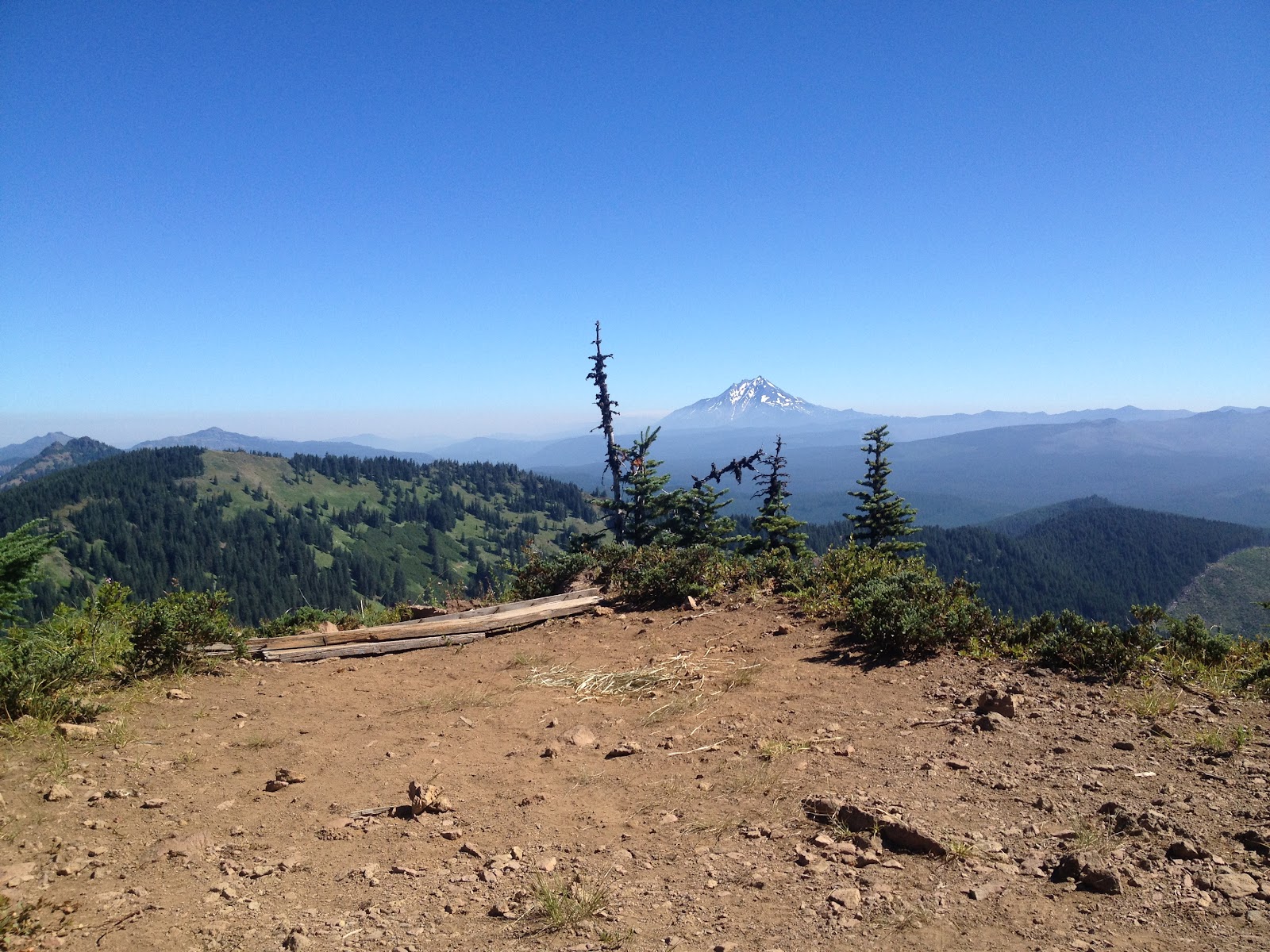
The view from the meadow earlier was just a preview of the views that await you. There is a lot of wood and some broken glass from what I believe was an old fire lookout. There a few campsites on top, that would make for dramatic sunrises and
sunsets, if you don't mind carrying a lot of water it would be an
unforgettable spot.
Far below you in the valley that gives Crescent Mountain it's shape is a beautiful looking lake, if one was ambitious you could hike down and have it to yourself. Though judging by a relatively close clear-cut, there is probably an easier way to the lake.

 |
| Just before the summit of Crescent Mountain |
 |
| Mount Jefferson with smoke to the north |

If you're looking for a decent workout, awesome views and solitude than this is a hike for you. Also nearby is Daly Lake, with almost car camping and great swimming it's worth checking out.
Hike Distance: 8.6 from the southern trailhead to summit and back
Highest Point: Crescent Mountain 5,750 feet
Fees: None
Directions from Sweet Home: Follow Highway 20 east for about 43 miles, turn left on Forest Road 2067, follow for 1 mile turn left onto FR 508. There is a large trailhead sign pointing down FR 508. Follow until the end.
Hike Distance: 8.6 from the southern trailhead to summit and back
Hike Type: Out and Back
Elevation Gain: 1740
Highest Point: Crescent Mountain 5,750 feet
Usage: Light
Difficulty: 3 out of 5
Fees: None


Comments
Post a Comment